You haven’t got any favourites yet
This is where you can collect inspiration, articles, events and places that interest you.
Click the icon on pages and they’ll appear here.
Your favourites
Argjahamar - Kongavarði

A short and easy hike to the cairns at Kongavarði, overlooking Tórshavn, Nólsoy and the fjords and mountains in the north.
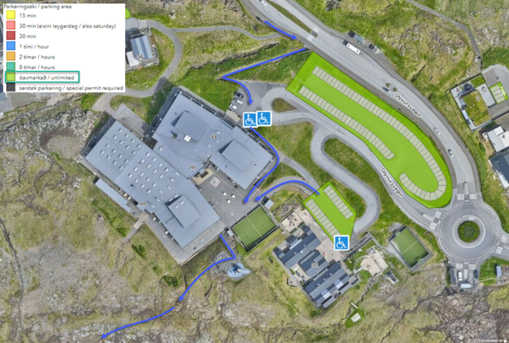
The route starts at the school in Argjahamar.
Continue down up between the school and the playground on the south side. Above the playground are some steps crossing over the fence. There is some construction happening past the fence, so walking up through this area can be slightly unpleasant, especially in wet terrain.
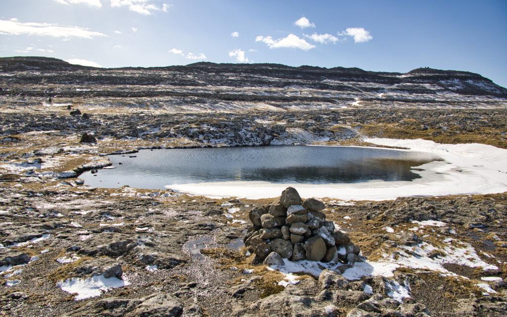
Once you’ve crossed over the fence and passed the construction area, you will see the first cairn above. These are the cairns leading to the village path heading to Kirjubøur. Follow the cairn about 400 meters up to Klingrutjørn. Just after Klingrutjørn, turn right off the village path and continue up westward along the Rygsá brook. Follow the brook towards the three large cairns on top of Kongavarða.
Up by the brook, the terrain is decent for walking. There is a peat shed on the route, and there are also some others that are slightly visible from there too. Even though this land is part of Kirkjubøur, people from Tórshavn cut peat here. Once past the steep section through Keksisskarð, the terrain becomes quite rocky; however, the distance is short and easy to manage.
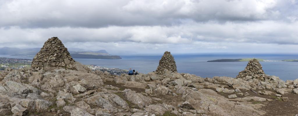
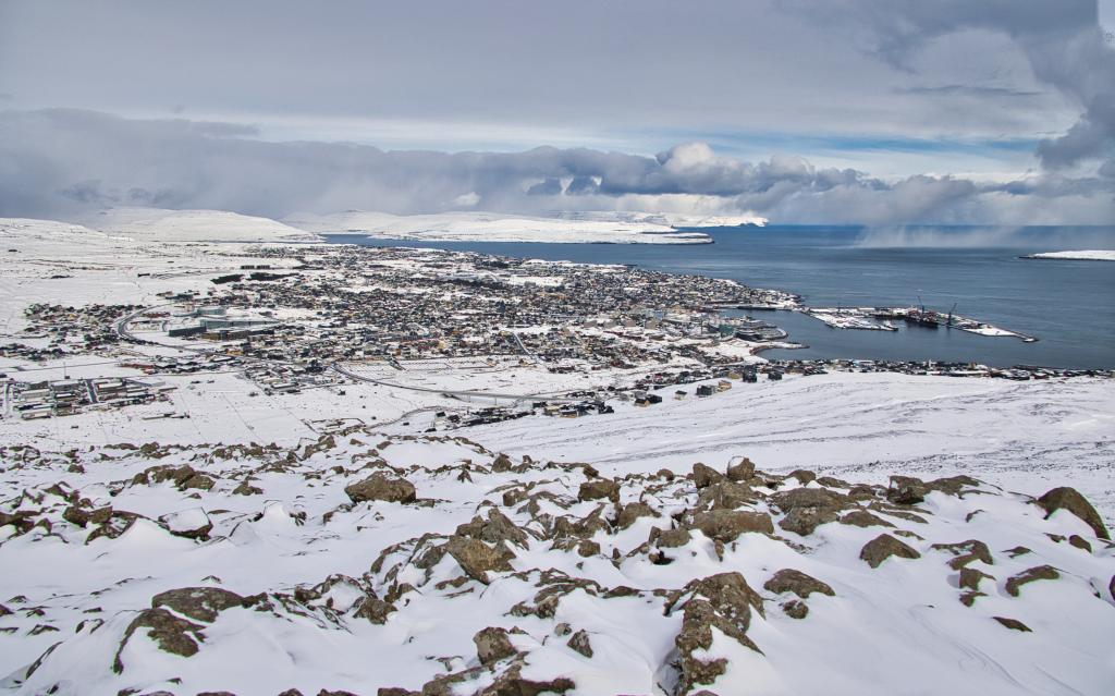
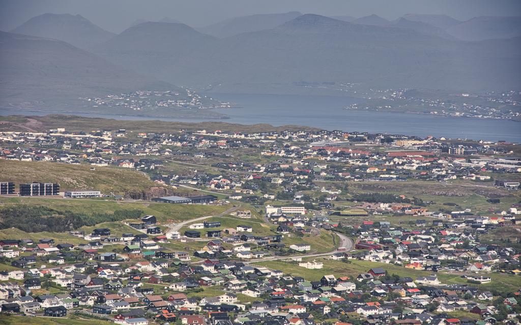
The view is gorgeous once you are on top of Kirkjubøreyn. You can see south to Sandoy and Kirkjubøkamb, east towards Nólsoy and north over the northern islands, Eysturoy and Streymoy. There is also a beautiful view spanning over Tórshavn and out towards Havnardalur.
Even the stony soil up here is unique as it looks like moonlike terrain, with rocks and cliffs which cannot be found in many other places in the Faroe Islands. Amidst all these rocks stand the significantly large cairns. When the Danish king visited the Faroe Islands in 1907, three men were sent there to watch and check when the ship would arrive. However, it became lengthy and cold to wait, so they decided to build a cairn to help them keep warm. The middle cairn is the Kongavarða (tr. “King’s Cairn”). The other two were built in the 1980s and 1990s.
This is an excellent destination to sit and enjoy the view with a good cup of tea.
The route down is the same as the route up.
Argir - Kongavarði
See the green markings on the map. The blue arrow show how to walk from the busstop/parking by the school and playground and towards the fence and where the path begins.
Facts
Duration
distance
Peak
Elevation

