






You haven’t got any favourites yet
This is where you can collect inspiration, articles, events and places that interest you.
Click the icon on pages and they’ll appear here.
Your favourites
Inspiration & Articles
Events & Tours
Places
Hiking
INSPIRATION & ARTICLES
EVENTS & HIKES
Places
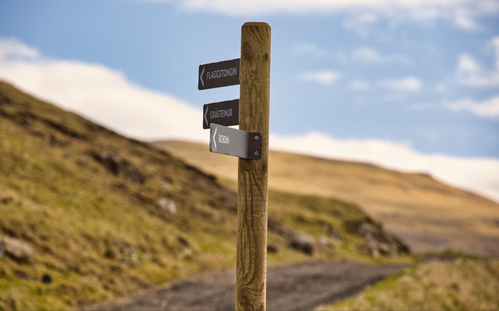
Nólsoy - Flaggstongin - Grásteinur


Link Copied!

-

-
-

-
-
-
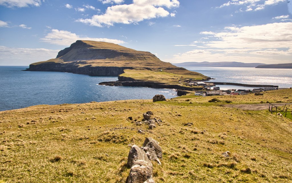 View from Flaggstongin
 -
-
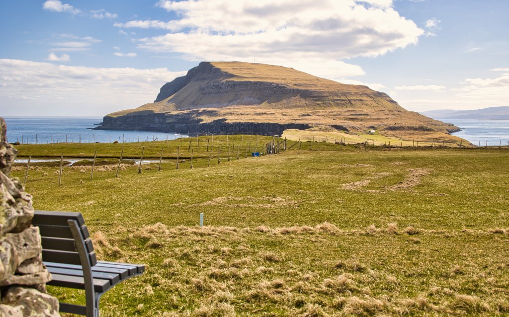
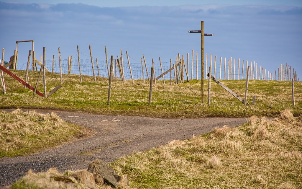
 The area around 'Flaggstongin'
 -
-
-
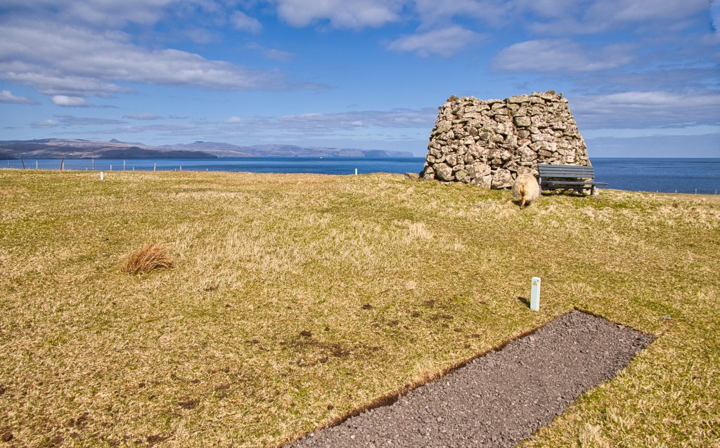
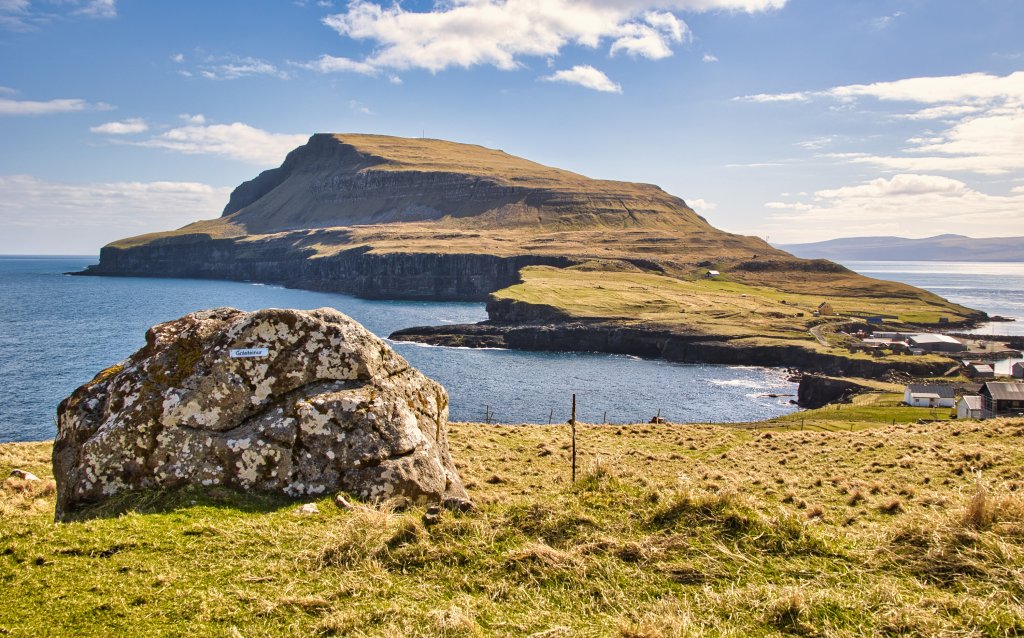 Grásteinur viewpoint
-
-
-
-
-
-
View from Flaggstongin
-
-
The area around 'Flaggstongin'
-
-
-
Grásteinur viewpoint
A pleasant, easy circular hike through beautiful scenery with sweeping views
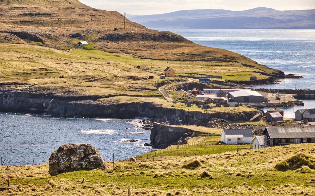
The experience begins with the beautiful approach to Nólsoy, where colourful houses, the white church, the old neighbourhood of Í Túni, the stone buildings on Eiðið and small boats by the floating dock create a peaceful scene. The white gateway above the harbour seems to draw you away from the bustle of city life across the sound. As you step ashore and walk towards the village, it feels like entering another, quieter world. Walk into the village, passing the new café Stutthol on your right and Ovasavnið on your left. The museum is named after the famous rower Ove Joensen and also houses Visit Nólsoy. Continue past the small shopping square and straight up the hill known as Í Geilini until you reach the rolling gate and the road leading north to Stongin. North of the village, the people of Nólsoy have created two short and easy circular hikes as alternatives to the longer hike south to Borðan. One leads to Boði at the northern tip of the island, while the other climbs to Flaggstongin, the highest point north of Nólsoy village. Each route is approximately 2.6 km, or 4.4 km when combined. Continue north along the road. Approximately 250 metres beyond the rolling gate, the road divides. Take the lower road towards Boði or the upper road towards Flaggstongin, described in route 2.When you have walked just over 100 metres up the upper road, turn right onto the road leading up to Stongin. At the top, by the wind turbine, turn left and follow the circular route clockwise.
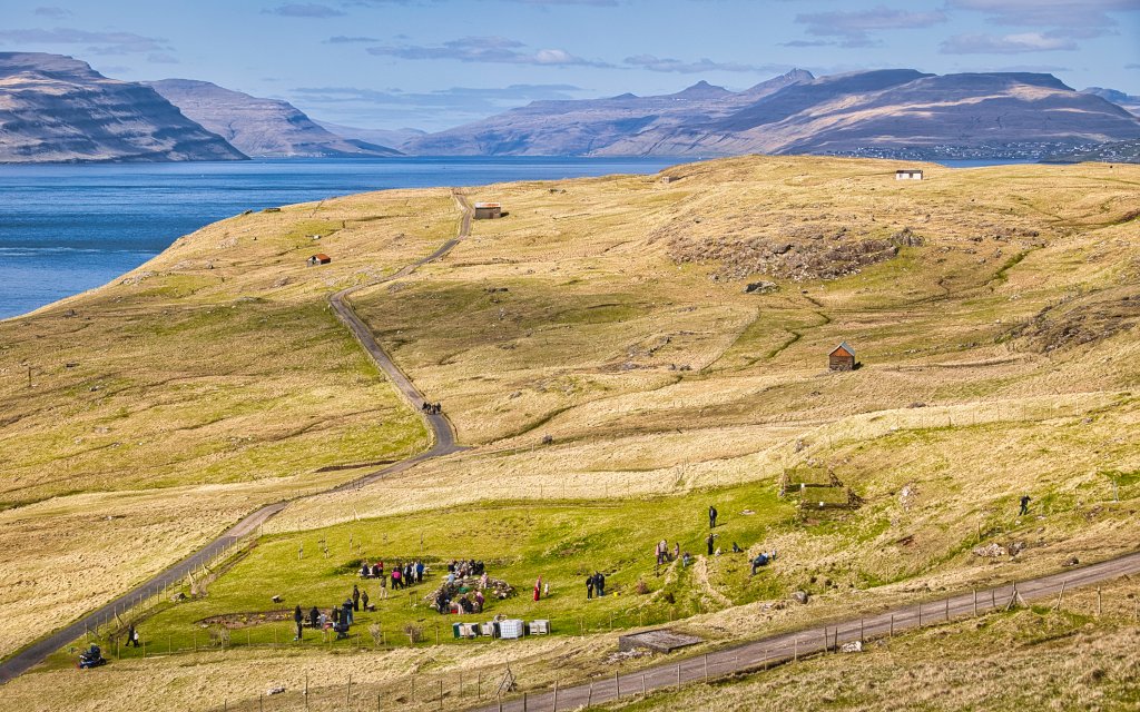
Follow the road to the large cairn known locally as Flaggstongin. Its name comes from its former use as a navigation marker for ships and boats entering Tórshavn harbour. From here, there are panoramic views in every direction. Sit on the bench beneath the flagpole with a cup of coffee and enjoy the view south along the eastern side of Nólsoy.
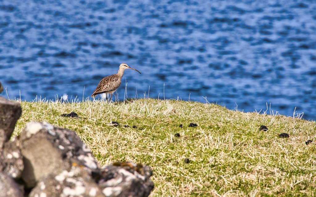
The eastern side of the island looks distinctly weather-beaten. Notice the path running south along the hillside before disappearing from view. Beyond it lie the largest scree in the Faroe Islands and one of the world’s largest colonies of European storm petrels, a tiny seabird measuring approximately 15–16 cm. Because of this internationally important colony, Nólsoy is designated as a Ramsar site. To protect the birds, please do not enter the area without prior permission.
Return to the road and continue down towards Grástein. From here, there is a good view of the isthmus, where the waves gradually erode the cliffs. During storms from the open sea, the waves can be so powerful that rocks and even large boulders are carried across the isthmus and scattered near the football pitch.
Continue eastwards and follow the route back to the village. Along the way, you may meet locals tending their fields or harvesting potatoes.
Eg broytti “the smallest seabird in the world” til “a tiny seabird”, tí drunnhvítin er millum heimsins minstu sjófuglar, men ikki staðfest tann allarmindsti.


To Nólsoy
Take SSL ferry route 90 between Tórshavn and Nólsoy:
View the timetable
Do not take your car on the ferry. Park in Tórshavn and begin the walk directly from the ferry terminal in Nólsoy, continuing south through the village for approximately 600 metres.
A limited number of parking spaces in central Tórshavn allow parking for up to eight hours. These are marked by green circles on the image. See also the parking information from Tórshavn Municipality.
You can also park outside the designated parking zone, marked by the red dotted line, where there are no time restrictions.
From the parking areas, walk down to the ferry M/S Ternan at Kongabrúgvin, marked by the blue square on the image.


Nólsoy - Flaggstongin
Facts

Duration

distance

Peak

Elevation
 6+, when combining both Bogin (1) og flaggstongin (2) hikes
 Easy
-
Easy
-
 Most of the route follows paved roads and gravel roads or paths.
