You haven’t got any favourites yet

This is where you can collect inspiration, articles, events and places that interest you.

Click the icon on pages and they’ll appear here.

Your favourites

Inspiration & Articles

Events & Tours

Places

Hiking

Search Search results

INSPIRATION & ARTICLES

EVENTS & HIKES

Places

Tórshavn - Velbastaður

  • ts-ni-2019-06-18-torshavn---velbasta-ur-og-reynsm-li-003-img-0037-jpg
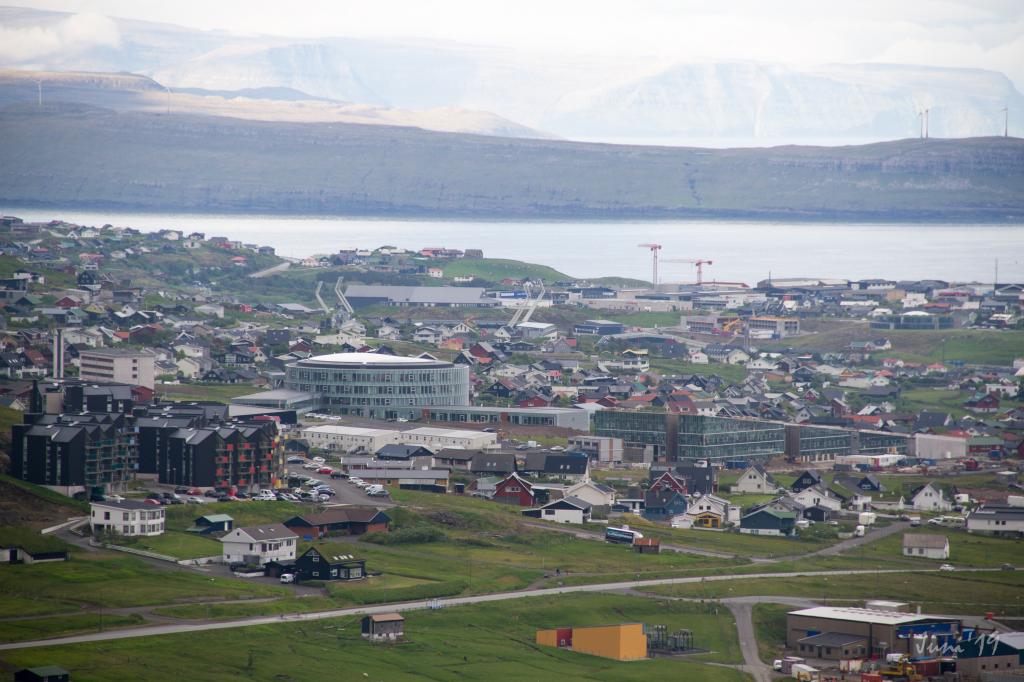
    Veiw from the villagepath above Tórshavn. Photo: Óli Gardshodn
  • ts-ni-2019-06-18-torshavn---velbasta-ur-og-reynsm-li-014-img-0018-jpg
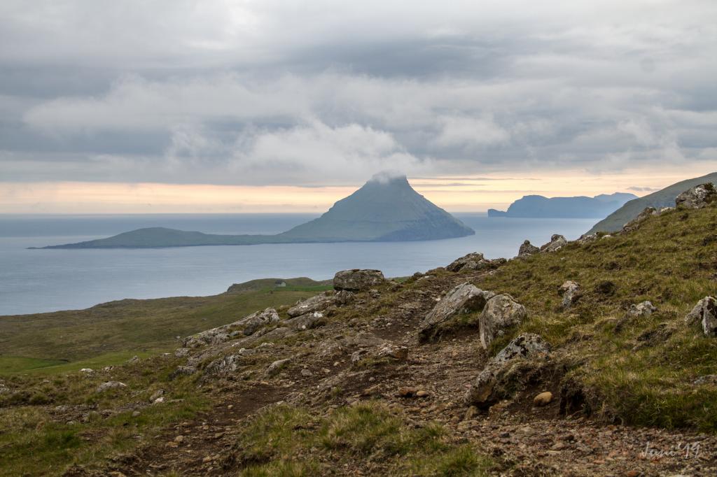
    View from the villagepath of the island of Koltur. Photo: Óli Gardshodn
  • velbasta-ur-william-anderson-jpg
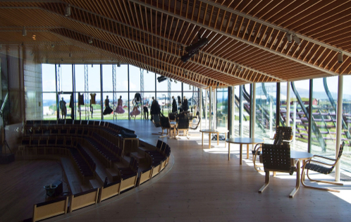
    Village of Velbastaður. Photo: William Anderson
hike poster

This is an easy hike that almost everyone can handle

This is an easy hike that most everyone can handle. In places the path is not visible, so you must follow the cairns, which are well maintained. This is especially the case when you have reached level ground, ascending from Tórshavn and where the paths to Velbastaður and Kirkjubø split. Therefore, it is almost necessary to use a GPX file to make sure one stays on the right path and in case it turns foggy.


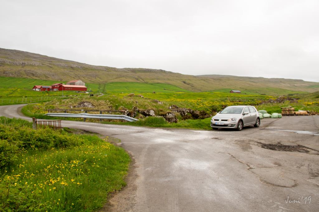
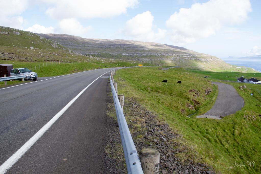
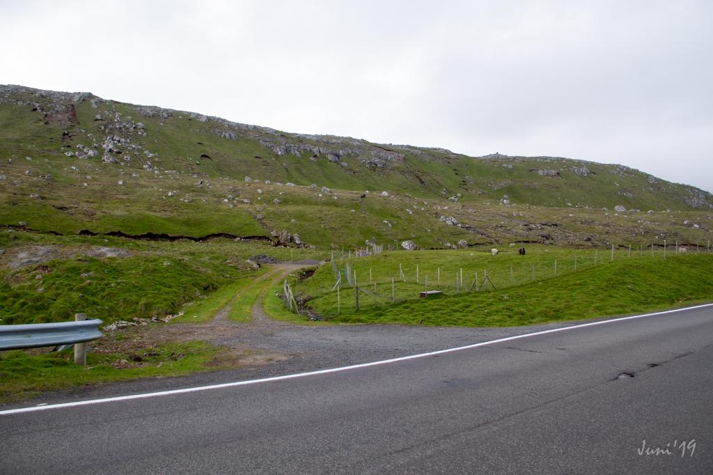
You can start the hike either by the farm in Havnardalur or by the main road above Velbastaður, 390 metres above sea level, just north of the exit to Velbastaður, where you will find an exit to a small dead-end road. You can park your car in the parking lot by the river.


On the path you will see Tórshavn from above and have a lovely veiw of the island of Koltur, a good idea is to include the hike up to the hollow Reynsmúlalág, where you will still find a dais made of rocks that was used for outdoor folk meetings, held as late as in the 1960s.


The path can be taken in either direction, weather and mode of transportation being decisive in which direction is preferable.

It is easy to find the path at both ends.

Tórshavn - Velbastaður
Velbastaður - Tórshavn

Tórshavn - Velbastaður

Public transport
You can take the city bus between Velbastaður and Tórshavn.

Arriving by car
Parking, Tórshavn
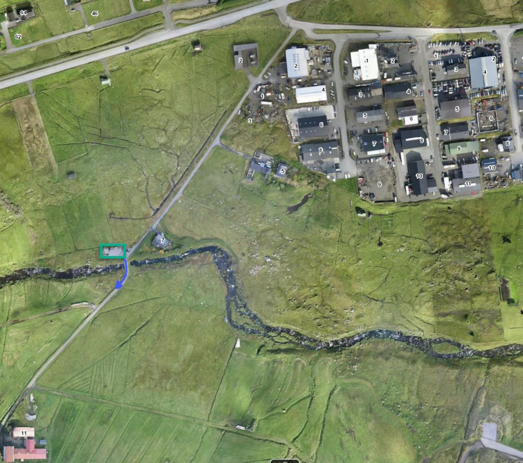
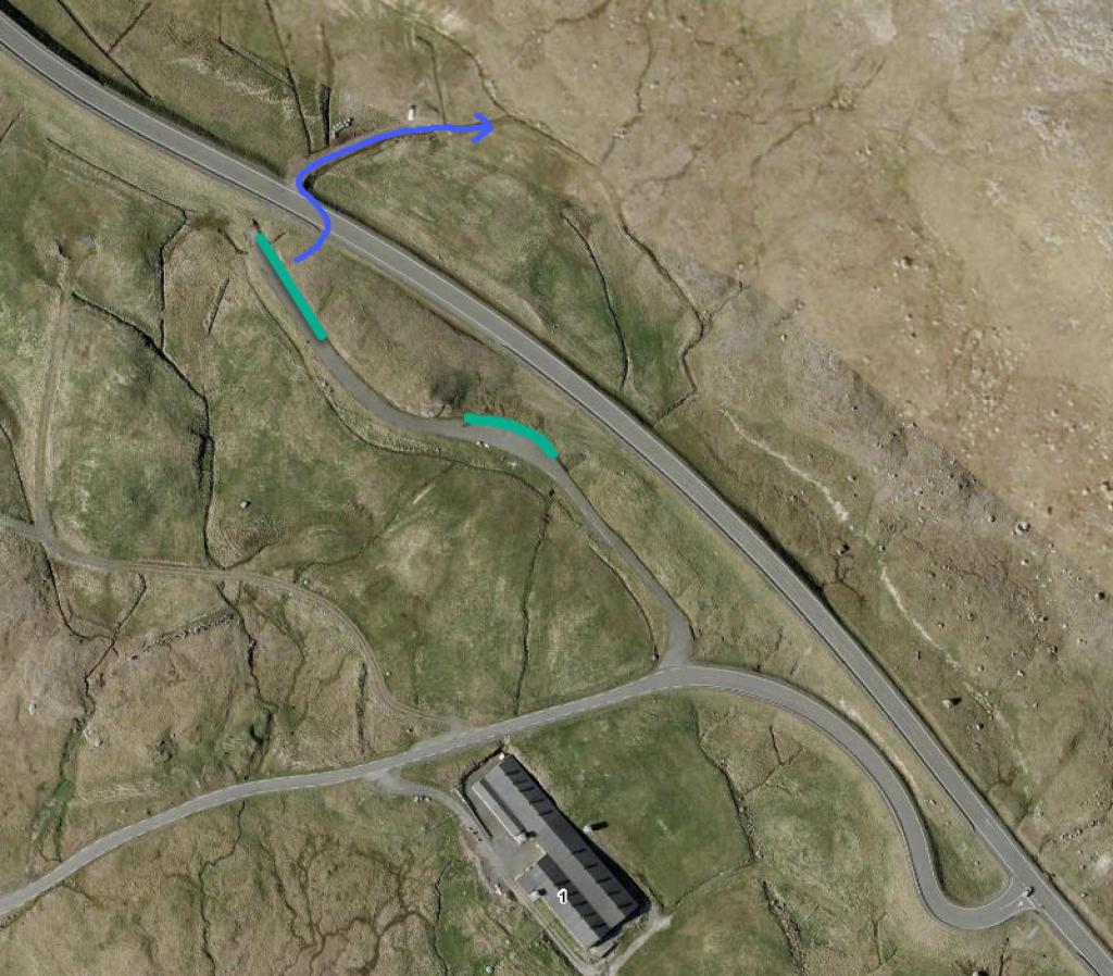
A public parking lot is by the river Sandá. (see photo) 

  • parkering-havnadalur-png
    See green line for parking and blue line for starting point
  • parkering-t-rshavn-2019-06-18-torshavn---velbasta-ur-og-reynsm-li-016-img-0003-jpg
    parking, Tórshavn
  • byrjan-t-rshavn-2019-06-18-torshavn---velbasta-ur-og-reynsm-li-001-img-0040-jpg
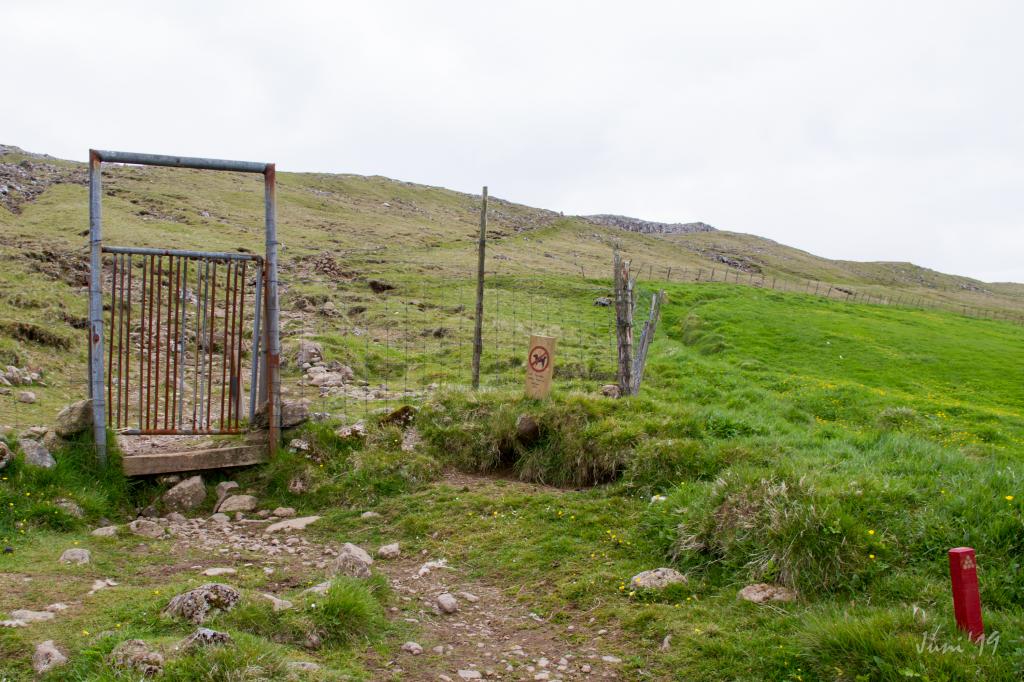
    Starting point, Tórshavn
  • byrjan-t-rshavn-2019-06-18-torshavn---velbasta-ur-og-reynsm-li-015-img-0004-jpg
    Starting point, first gate, Tórshavn

Velbastaður - Tórshavn

  • parkering-velbasta-png
    See green line for parking and blue line for startingpoint
  • parkering-velbasta-ur-2019-06-20-t-rshavn---velbasta-ur-og-reynsm-li-019-img-0043-jpg
    parking, Velbastaður
  • parkering-velbasta-ur-2019-06-20-t-rshavn---velbasta-ur-og-reynsm-li-019-img-0044-jpg
    parking, Velbastaður
  • byrjan-velbasta-ur-2019-06-18-torshavn---velbasta-ur-og-reynsm-li-013-img-0020-jpg
    Starting point, Velbastaður
Tórshavn - Velbastaður
Velbastaður - Tórshavn

Tórshavn - Velbastaður

Velbastaður - Tórshavn

Facts

path icon
1h 0m

Duration

path icon
3 km

distance

hilltop peak icon
222 m

Peak

family icon
234 m

Elevation


family icon Suitable for children
difficulty icon Medium - The path is very easy to walk. A fallen fence is by the path, and the hills are small
terrain icon In places the path is quite rocky, especially from Tórshavn up to level ground. Otherwise the terrain is good for walking
2°C
11 m/s
Weather forecast

Available guided tours