You haven’t got any favourites yet
This is where you can collect inspiration, articles, events and places that interest you.
Click the icon on pages and they’ll appear here.
Your favourites
Fuglafjørður - Norðskála
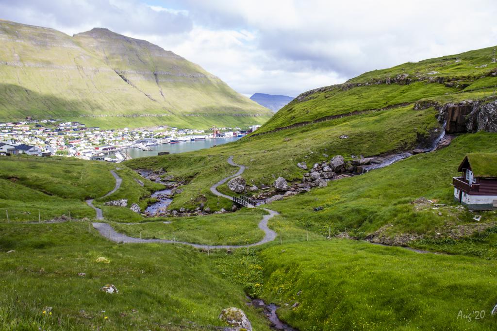
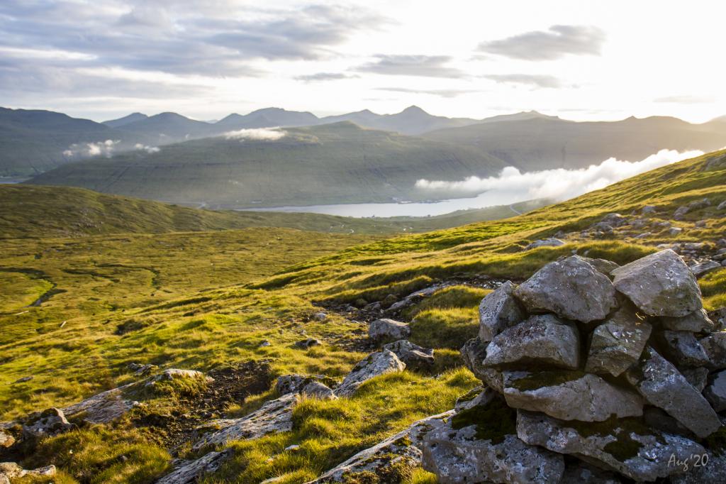
A fairly long but beautiful, interesting and varied hike
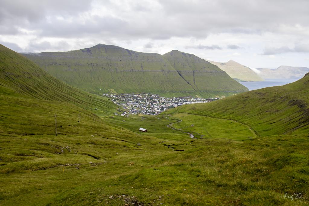
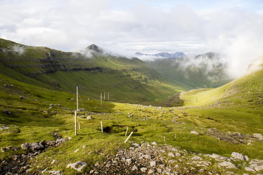
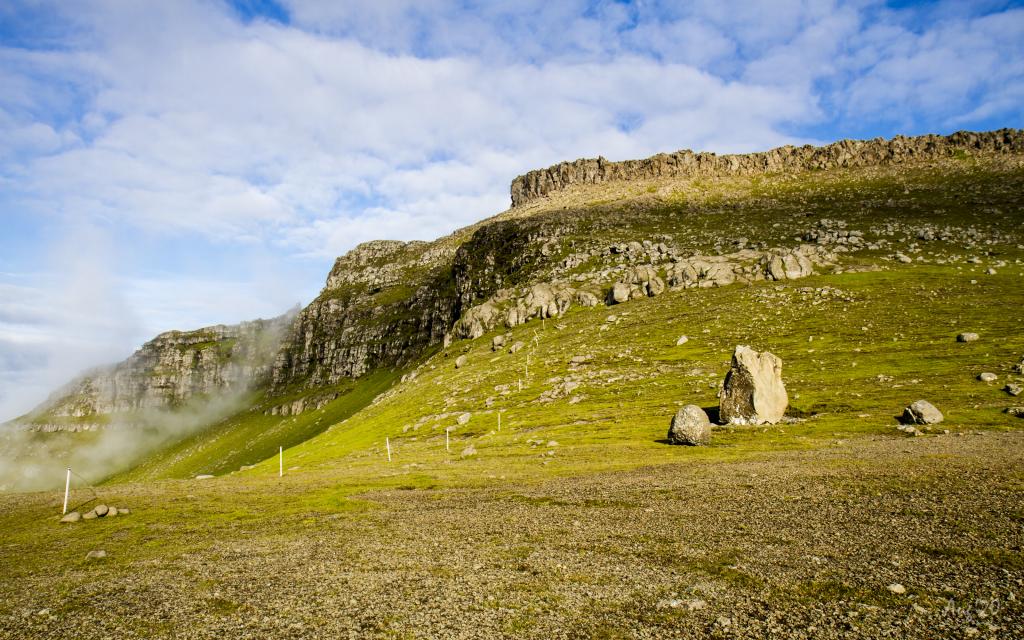
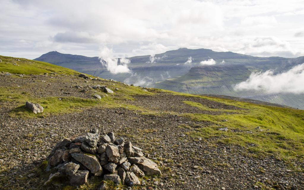
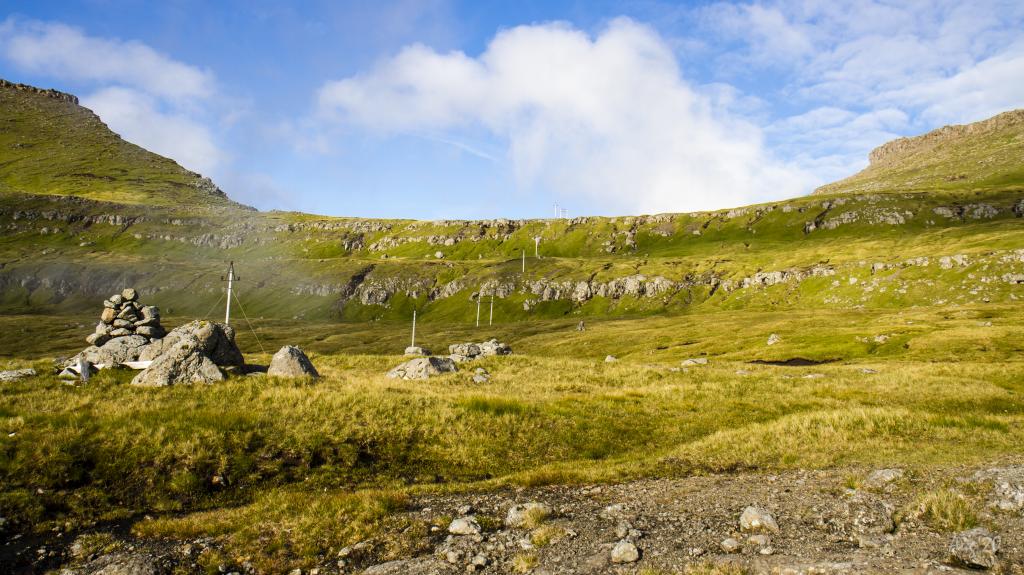
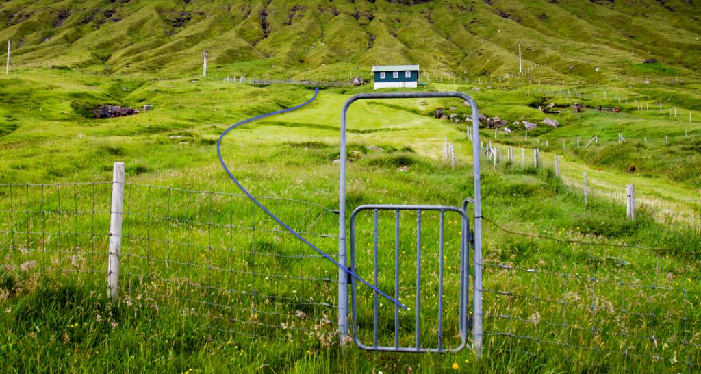
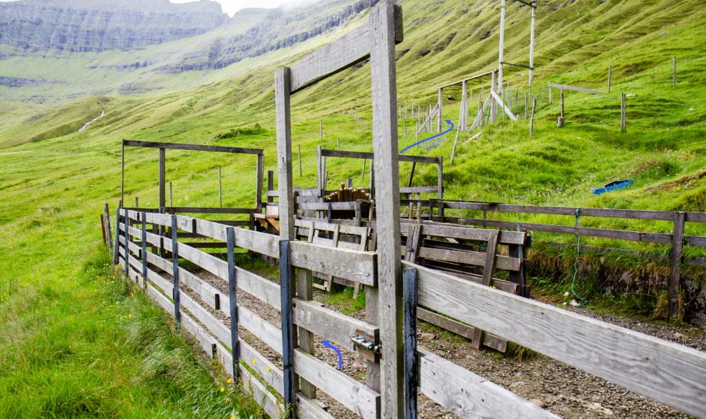
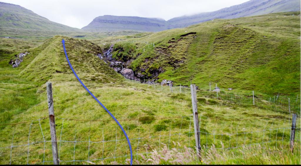
In Fuglafjørður, the hike starts at the end of the road Innandalsvegur, where you hike straight up through the gate to the sheep pen by the stone walls. This is just above the area known as Vesturi í Dal, which the municipality has tastefully developed with several nice paths. From here, go along the upper side of the stone wall until you reach the hill Heyggjurin Mikli. By the power lines, the path turns up toward Mýrubotnur. This boggy and level area beneath Mt Blábjørg is tranquil to traverse through. With steep rock ledges flanking both sides, it is a quick walk up along the river to the pass Jøklaskarð (elevation, 521 m), where you will find the large boulders named Samgongusteinar.
Only a few cairns are visible on the stretch from Fuglafjørður up to Jøklaskarð. If the path is difficult to spot, follow the power lines.
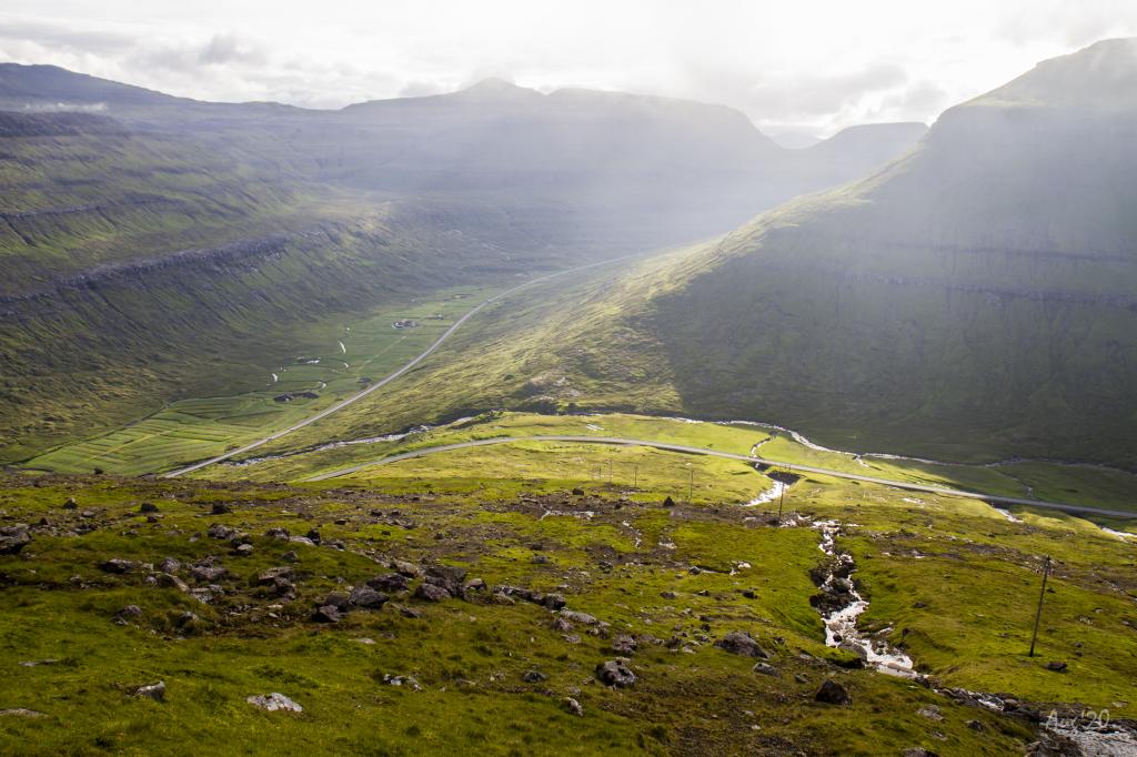
From Jøklaskarð, hike down to the main road to the village of Oyndarfjørður, where the descent at times is fairly steep, and where you also have to follow the cairns down through three crags. The last stretch through the crags, Skeljastíggjur, is just south of the river. Cairns will lead you the whole way.
From the main road to Oyndarfjørður, take a direct westerly direction, where the road to Funningsfjørður (Gerðisvegur) reaches the main road running through Millum fjarða (the area between the fjords Funningsfjørður and Skálafjørður). You will have to climb over some fences that have no ladders.
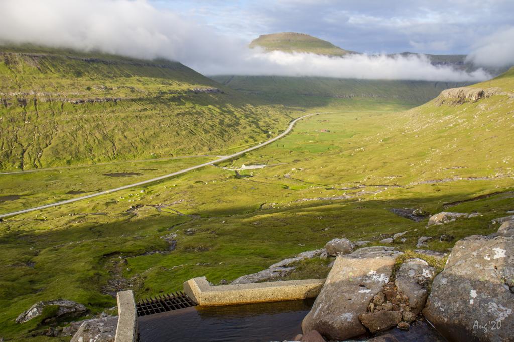
The first stretch of the path from the main road at Millum fjarða up to the valley Vesturdalur is quite unique, with uneven terrain, hills, and many rivers, which, however, often are dry as the water is used for hydro power. The first cairn of this stretch is up by the power dam by the bridle path.
Having reached the bridle path, the terrain, which stretches all the way up to just below the pass undir Nøvini, turns increasingly boggy. This stretch is particularly beautiful with broad vistas, both north through the fjord of Funningsfjørður and south toward millum Fjarða and the steep rock ledges and the large scree below the promontory Nøvin. Cairns lead you all the way up to the pass. From the pass, take a westerly direction, on the right side of the fence. As there is no ladder, you will have to climb over the fence to continue the hike.
The stretch down to the tunnel portal is easy and grass-covered. Here you also need to climb over a fence, so you can walk down south of the fence. Cairns lead you down the final stretch of the path—the last cairn, though, has fallen down (in 2020).
If you do not stop at the tunnel portal, you can take the village path down to the large parking lot found by the lower main road, from where you can continue to the bus stop at Oyrabakki, for example.
Fuglafjørður - Norðskála
Public transport
Public transportation to Fuglafjørður: SSL route 410 (Klaksvík – Fuglafjørður, Fuglafjørður – Klaksvík).
If taking route 400 (Tórshavn – Klaksvík, Klaksvík – Tórshavn), you can change to route 410 in Gøtudalur.
Arriving by car
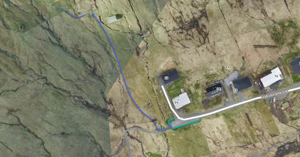
Parking, Fuglafjørður - above Innandalsvegur 86 (at the upper end of Innandalsvegur)
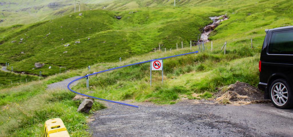
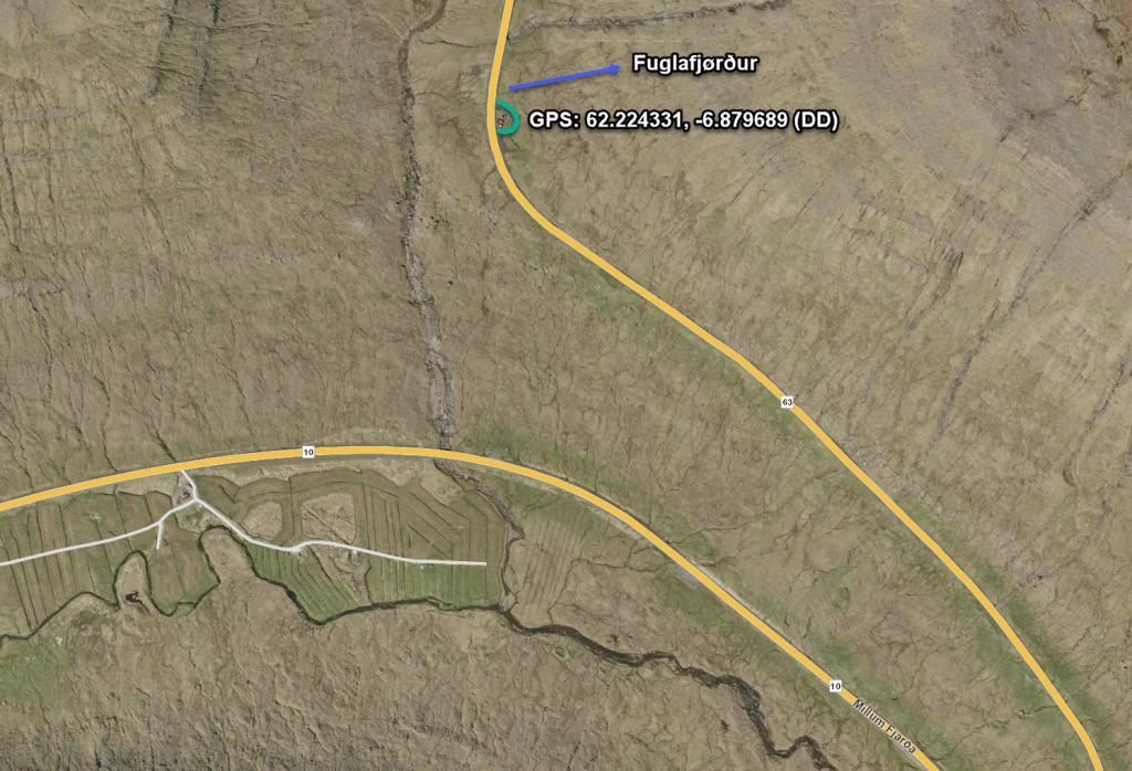
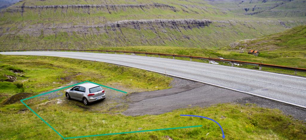
Park your car at the end of Innandalsvegur (see the green line), go out through the nearby gate, hike about 125 m up to the sheep pen, and go through the gate in the pen (see the blue lines in the picture). Remember to close the gates behind you.
Norðskála - Fuglafjørður
Public transport
Public transportation to Norðskáli: SSL route 450 (Skálafjørður - Kollafjørður)
Arriving by car
Parking, Norðskála
There are several places to park, if you decide to walk toward Fuglafjørður, depending on how long a hike you want to take.
The path crosses the main road in several places: at the road to Oyndarfjørður, at the road millum Fjarða, and at the tunnel portal north of Norðskáli. Only the longest and shortest stretch are described here.
Parking, road to Oyndarfjørður
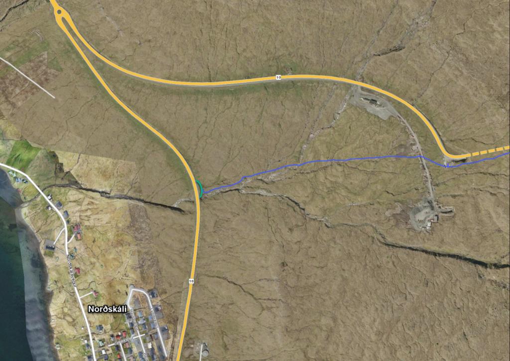
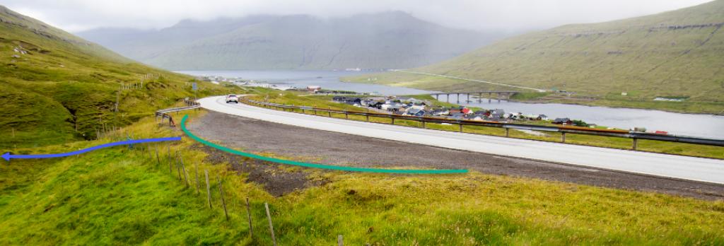
If you want to take the shortest stretch to or from Fuglafjørður, drive along the road to Oyndarfjørður for about 1.8 km, where you will find a parking lot (see the green line). From there, follow the blue line to Fuglafjørður.
Parking, large parking lot by the main road above Norðskáli
Fuglafjørður - Norðskála
Norðskála - Fuglafjørður
Facts
Duration
distance
Peak
Elevation

